About
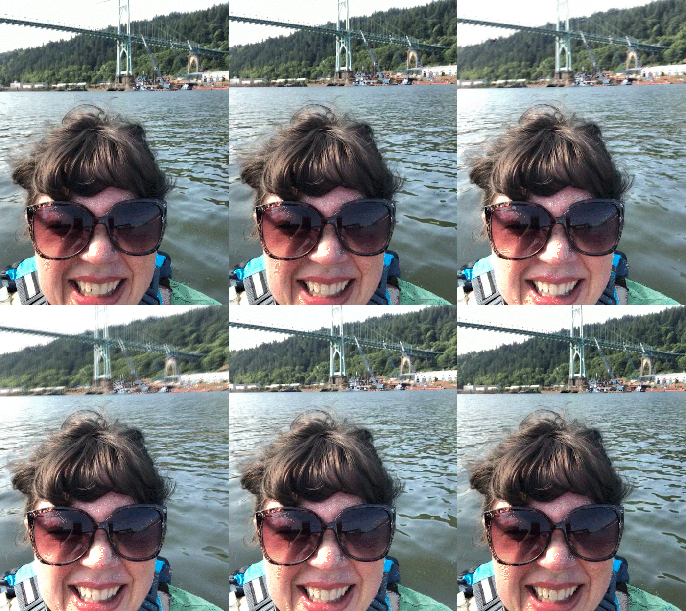
Jaime Temairik is an illustrator and author who lives in Portland, Oregon, sandwiched between the Columbia* and Willamette** Rivers. It’s a soggy sandwich.
Like P.G. Wodehouse she believes an apple a day, if well aimed, keeps the doctor away. She also believes in basic human rights for all, and that history that doesn’t make you uncomfortable is propaganda.
* From NPS: The Chinook tribe who live near the lower Columbia, call it “Wimahl” (or “Wimal”). It’s the “Nch’i-Wàna” (or “Nchi wana”) to the Sahaptin (Ichishkíin Sɨ́nwit)-speaking peoples of the river’s middle course in present-day Washington. And the river is known as “swah'netk'qhu” by the Sinixt people, who live in the area of the Arrow Lakes in the river's upper reaches in Canada. All three terms essentially mean "the big river.”** From NPS: In 1806 a group of Watlalas and Clowewallas people drew a charcoal map for Lewis & Clark’s party to find the “Mult-no-mah” river. After 1841, the Multnomah became the Willamette River. Even though it’s just 187 miles long, it’s the 13th largest river in the lower 48 states, based on water flow. It begins in the Oregon Coast and Cascade Ranges, and flows through the famed Willamette Valley, one of the most fertile agricultural regions in the U.S.